Published · Alex Zweydoff, Allegiant Management Group
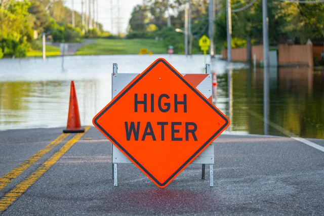
Owning property in Florida comes with flood risk. Knowing a property’s flood zone affects insurance costs, lending, and value. FEMA’s Flood Insurance Rate Maps (FIRMs) classify risk, and high-risk zones like Zone A and Zone V need closer review. Especialy with the upcoming law changes regarding disclosure.
Why Flood Zone Status Matters in Florida
- Insurance: Premiums rise in higher-risk zones; lenders can require coverage.
- Financing: Mortgage approvals often hinge on flood insurance in A or V zones.
- Value: Buyers factor flood history and expected costs into offers.
- Planning: Risk awareness guides renovation, hardening, and long-term plans.
Flood Zone Categories: Terms to Know
Base Flood Elevation (BFE): The estimated water height during a 1% annual chance flood. Structures below BFE face greater risk.
- High risk: A, AE, AH, AO, V, VE (coastal surge risk in V/VE)
- Moderate risk: X (shaded) — older maps may show B
- Minimal risk: X (unshaded) — older maps may show C
Older designations like B and C can still appear on legacy panels.
Step-by-Step: Check Any Florida Address
- Open FEMA’s Map Service Center: Go to msc.fema.gov.
- Enter the property address: Confirm the correct parcel and map panel.
- Find the flood zone code: Note A, AE, AH, AO, V, VE, or X (shaded/unshaded).
- Compare elevation to BFE: If you have an elevation certificate, compare it to the panel’s BFE.
- Check local county GIS: Many counties publish flood overlays, storm surge layers, and drainage basins.
- Save your findings: Download a FIRMette (map excerpt), record the panel number, and revision date.
- Recheck periodically: Panels change. Verify again before a sale, refinance, permit, or major project.
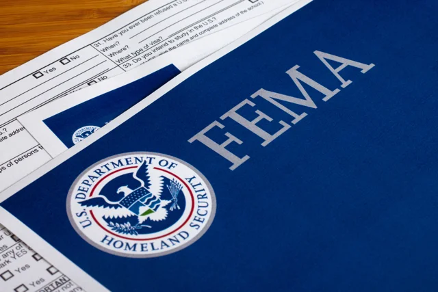
FEMA & Florida Tools
- FEMA FIRMs: Official maps for flood zone designations.
- Risk MAP: Additional data about changing risk.
- County GIS: Local overlays and stormwater context (varies by county).
- Elevation certificate: Survey document that can refine premiums.
Local Resources for Verification
- County Floodplain Management Offices
- City Planning and Zoning Departments
- Water Management Districts
These offices can explain local requirements and may confirm whether an elevation certificate exists for your structure.
Insurance and Elevation
- High-risk zones often trigger lender-required flood insurance.
- Premiums reflect zone, elevation, and building details.
- An elevation certificate can reduce costs if the finished floor is above BFE.
Standard homeowners policies exclude flood damage. Coverage is available through the NFIP and private carriers.
When to Hire a Pro
Bring in a licensed surveyor, engineer, or certified floodplain manager if you need an elevation certificate, plan new construction, or want to pursue a Letter of Map Amendment (LOMA).
Florida’s rental laws are changing fast. Allegiant Management Group in Central Florida makes compliance simple — from flood disclosures to lease updates. Protect your property and build tenant trust. [Talk to an expert].
Frequently Asked Questions (FAQs)
- What is Base Flood Elevation (BFE)?
- BFE is the water height in a 1% annual chance flood. Being below BFE increases risk and usually premiums.
- Is Zone X safe?
- Zone X (unshaded) is minimal risk. Zone X (shaded) is moderate. Flooding can still occur in either.
- Do I need flood insurance in Zone A or V?
- Most lenders require it in high-risk zones. Consider coverage even outside those zones.
- How often are FEMA maps updated?
- It varies. Check your panel’s revision date and reverify after county updates.
- How do I get an elevation certificate?
- Hire a licensed surveyor or ask your floodplain manager if one already exists.
- What is a LOMA?
- A FEMA letter that can amend a property’s status if it’s above BFE, which may change insurance requirements.